Klein Vaarbewijs 2 of 8: Buoys, marks and where to sail
Red and green, cardinals and the SIGNI system. How marks tell you where the channel is and which side to keep them.
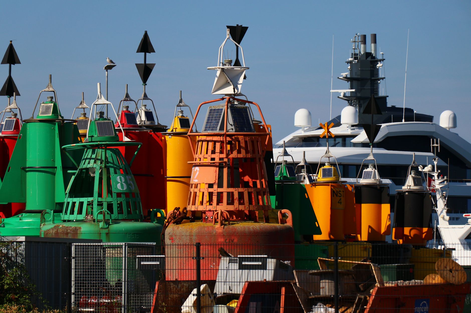
Op een drukke vaarroute staan de tonnen er al jaren, maar wie ze voor het eerst echt ziet, merkt dat ze meer zeggen dan verwacht. Een rode stompe ton aan stuurboord betekent dat je stroomopwaarts vaart en de geul aan die kant houdt. Een kardinale ton met twee punten omhoog vertelt je waar het gevaar zit zonder dat er een woord aan te pas komt. Het SIGNI-systeem is geen willekeurige verzameling kleuren en vormen, maar een taal die werkt zodra je de logica erachter kent.
De meeste mensen ontdekken dat een zeekaart of rivierschema er heel anders uitziet als je de betonning kunt lezen. Ineens is een smalle geul door een meer geen abstracte lijn meer, maar een route die de tonnen voor je uitzetten. Dit onderdeel legt die basis: welke kant je aanhoudt, wat kardinalen over gevaar vertellen, en hoe bijzondere markeringen zich onderscheiden van de rest.
Learn the lateral marks on Dutch inland water: red and green, their shapes and top marks, and which side is which going upstream.
Suggestion: Left bank and right bank are defined by the direction of the current. Get that fixed first.Study the cardinal marks: north, east, south, west, their colours and where the safe water is.
Suggestion: Draw a compass rose with the four marks around a rock.Understand isolated danger, safe water and special marks.
Suggestion: Make four flashcards, one per type.Look at a real chart of a lake or river near you and trace the buoyed channel.
Suggestion: Free chart viewers online show the marks.Ten practice questions on buoyage.
Suggestion: Colours and shapes at the same time. Do not learn one without the other.Next
Klein Vaarbewijs 3 of 8: Lights and day shapes
Related playbooks
Klein Vaarbewijs 8 of 8: Charts, tides and open water
The step to Klein Vaarbewijs 2. Reading a chart, plotting a course, compass, tides and currents on the Wadden and the coast.
Klein Vaarbewijs 7 of 8: Weather, wind and water
Wind force, waves on a lake, thunderstorms and reading a forecast before you leave. The water is a different place in Beaufort 5.
Klein Vaarbewijs 6 of 8: Knots, mooring and manoeuvring
The six knots you use every day and how to bring a boat alongside in wind and current without drama.
Klein Vaarbewijs 5 of 8: Engine, fuel and technique
How an outboard or inboard works, what to check before starting, propeller effects and why boats do not steer like cars.
Klein Vaarbewijs 4 of 8: Safety on board
What must be on board, what to do when someone goes overboard, fire, and the checks before you leave the berth.
Klein Vaarbewijs 3 of 8: Lights and day shapes
Reading a vessel at night or in poor visibility. Navigation lights, what a tug or a ferry shows, and the shapes shown by day.
by PlayTryBe team